Quick answers
What does ATIS stand for?
Automatic Terminal Information Service: a continuous recorded broadcast at an airport with current weather, active runways, approaches in use and important notices.
What does "information Bravo" mean?
Every new ATIS recording gets the next letter of the phonetic alphabet. When a pilot says "with information Bravo" they are telling the controller they have heard the current recording, so the controller does not need to repeat it.
How often is ATIS updated?
At least once an hour, usually right after the new hourly weather observation, and in between whenever something important changes, such as the runway in use or a sudden change in weather.
What is D-ATIS?
Digital ATIS: the same information sent as text. Pilots at larger US airports receive it in the cockpit by datalink, and its text is what this site shows on airport weather pages.
What ATIS is
ATIS is a recording on its own radio frequency at most towered airports, played in a loop. Pilots tune it in before they start the engines, before they enter the area for landing, and whenever they need a refresher. At a big airport the tower and ground controllers would otherwise read the same weather and runway information hundreds of times a day.
What it contains
- The airport name and the information letter.
- The time of the weather observation, in UTC (Zulu).
- Wind, visibility, sky condition, temperature, dew point and altimeter setting, taken from the airport's METAR.
- The instrument approach and the runways in use for landing and departure.
- Notices: closed taxiways, construction, birds, equipment out of service, often from the airport's NOTAMs.
- Instructions, for example which frequency to call for clearance.
The runways on the ATIS are the best single clue to where aircraft will land and take off for the next hour.
The letter code
Each new recording takes the next letter: Alpha, Bravo, Charlie, through Zulu and back to Alpha. Pilots include the letter in their first call, "with information Charlie", so the controller knows they have the current one. If a new version comes out while an aircraft is on frequency, the controller announces it, and pilots listen again.
Digital ATIS
At larger US airports the ATIS is also produced as text, called D-ATIS, and delivered to the cockpit over datalink (see ACARS). The text is the same information without the radio static, which is why it is easier to read. Many airports publish separate arrival and departure versions.
Reading one
A typical D-ATIS reads like this: DFW ARR INFO K 1653Z. 18012KT 10SM FEW040 24/12 A3002. SIMUL ILS APCHS IN USE RWY 17C, 17L, 18R. Arrival information Kilo, observed at 16:53 UTC; wind from 180 degrees at 12 knots, visibility 10 miles, a few clouds at 4,000 feet, 24 C with a dew point of 12 C, altimeter 30.02; simultaneous ILS approaches to runways 17C, 17L and 18R.
The current ATIS text for each airport is on its weather page, for example Dallas Fort Worth or JFK, with the METAR and TAF decoded underneath. It is for reference; pilots use the official broadcast.
Airport weather in the Cockpit app
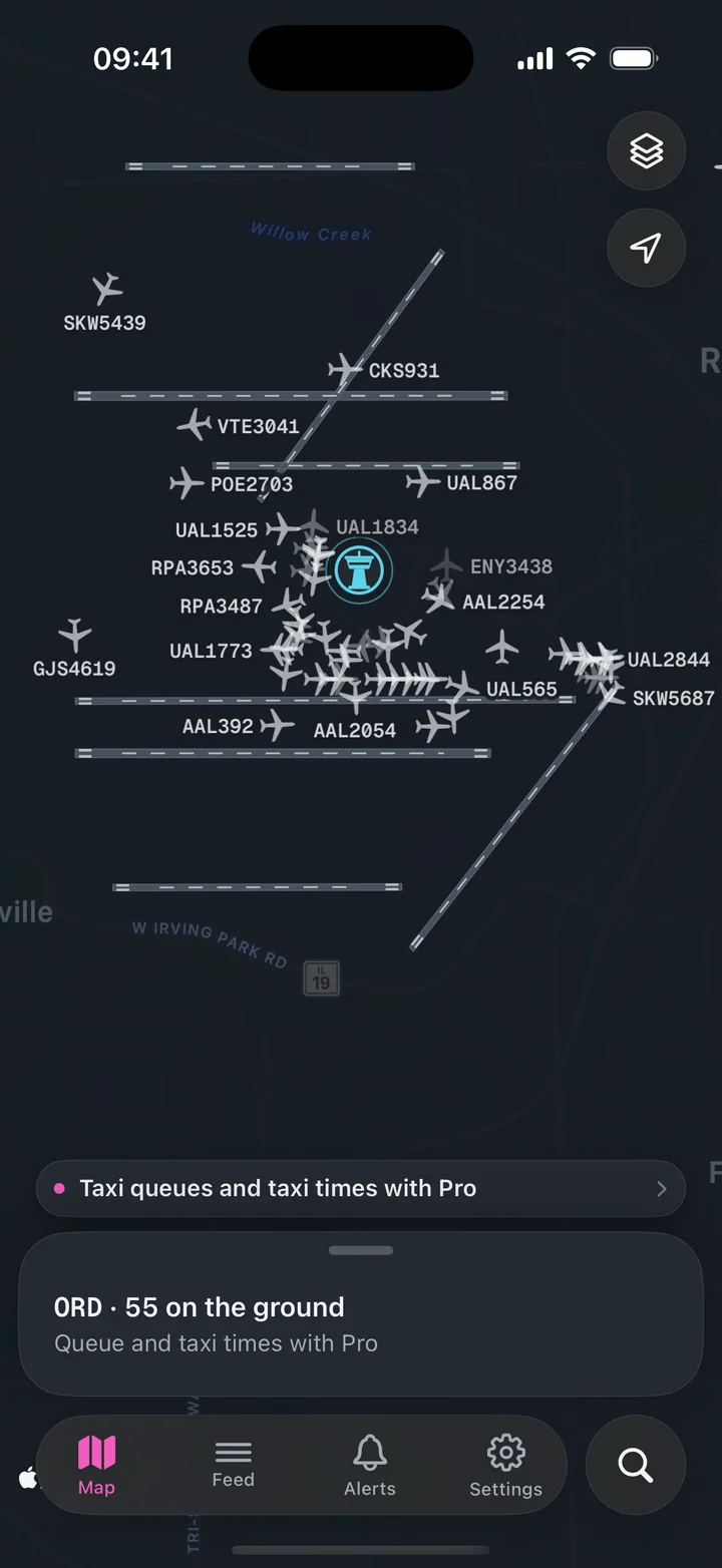
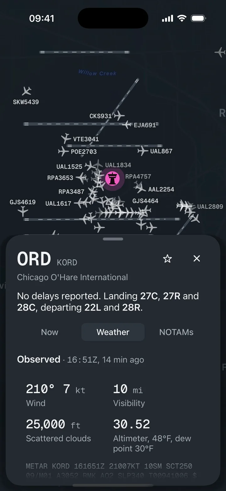
ATIS, METAR and TAF decoded in plain words, with the runways in use on the airport diagram.