OGG airport status
Kahului International Airport, Kahului, HI PHOG
No FAA delays at OGG right now.
The FAA reports no ground stop, delay program or closure for Kahului. Arrivals and departures are running without FAA-reported delays.
 Get a push when OGG's status changes
Weather
Observed 1:54 pm HST at the field.
METAR PHOG 242354Z 03014KT 10SM FEW020 SCT030 SCT045 27/22 A2991 RMK AO2 SLP135 T02720217 10289 20244 58024 $
Forecast from 2:00 pm HST: wind 020 at 13 kt, visibility 6+ sm, few clouds at 3,000 ft, scattered clouds at 4,000 ft; then wind variable at 5 kt, visibility 6+ sm, few clouds at 2,500 ft, scattered clouds at 5,000 ft.
Full METAR, TAF, decodedNOTAMs that matter today 4 of 9
Translated to plain English. The FAA text is one tap away.
Drones are restricted within 0.2 nautical miles of the coordinates 14.9 nautical miles west of Kahului, from the surface up to 400 feet AGL.
FAA text
10/169 AIRSPACE UAS WI AN AREA DEFINED AS 0.2NM RADIUS OF 205532N1564142W (14.9NM W OGG) SFC-400FT AGL
RNAV (GPS) runways 20 and 23 and VOR or TACAN runway 20 approaches amended. Circling Category C minimums MDA 800 ft, HAA 745 ft, visibility 2 1/4 miles. Power line 444 ft MSL 3.2 NM southeast of the airport.
FAA text
6/2302 IAP KAHULUI, KAHULUI, HI. RNAV (GPS) RWY 20, AMDT 2A... RNAV (GPS) RWY 23, AMDT 1A... VOR Z OR TACAN RWY 20, AMDT 1A... CIRCLING CAT C MDA 800/HAA 745, VIS CAT C 2 1/4. PWR LINE 444 MSL 3.2NM SE OF OGG AIRPORT (2023-AWP-1843-OE). 2609102016-2611302015EST
Taxiway B between Runway 05/23 and Taxiway F is closed to aircraft with wingspans over 118 ft.
FAA text
02/036 TWY B BTN RWY 05/23 AND TWY F CLSD TO ACFT WINGSPAN MORE THAN 118FT
Taxiway F between the Runway 05 approach end and Taxiway A is closed to aircraft with wingspans over 118 ft.
FAA text
01/339 TWY F BTN APCH END RWY 05 AND TWY A CLSD TO ACFT WINGSPAN MORE THAN 118FT
Frequencies
For listening and reference. Pilots use the current FAA Chart Supplement.
| Facility | MHz |
|---|---|
| OGG ATISATIS | 119.500 |
| OGG Clearance DeliveryClearance delivery | 120.600 |
| OGG GroundGround | 121.900 |
| OGG TowerTower | 118.700 |
| HCF CenterCenter | 119.300 |
| HCF CenterCenter | 126.000 |
| HCF CenterCenter | 127.600 |


Nearby airports
About this page
Status comes from the FAA National Airspace System status feed, weather from the FAA METAR and TAF for PHOG, and NOTAMs from the FAA NOTAM system, translated to plain English. Everything here is public FAA data; this site is not affiliated with the FAA and nothing on it is for navigation. Official FAA airport diagram (PDF).
OGG in the Cockpit app
The same airport, live: every plane on the ground, the weather and NOTAMs decoded, and an alert when a ground stop starts or lifts.
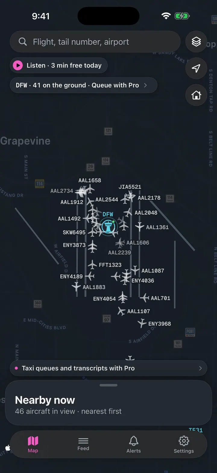
See every plane on the ground
Who is taxiing out, who is holding short, how long the departure queue is right now.
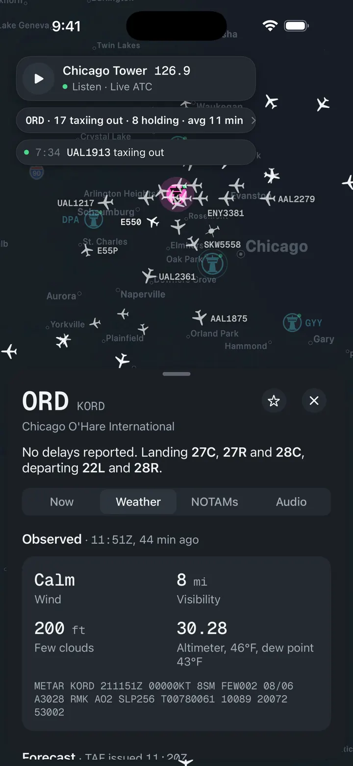
Weather and NOTAMs, decoded
Observed, forecast and ATIS in plain words, with the raw text underneath for when you want it.
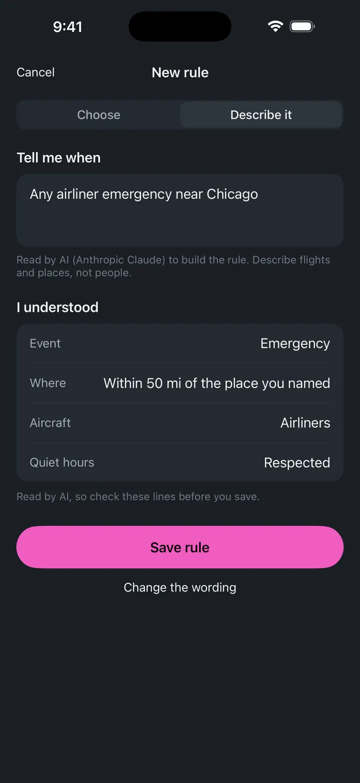
A push when a ground stop starts
Follow OGG and get notified when the FAA issues, extends or ends a stop.