ELP airport status
El Paso International Airport, El Paso, TX KELP
No FAA delays at ELP right now.
The FAA reports no ground stop, delay program or closure for El Paso. Arrivals and departures are running without FAA-reported delays.
 Get a push when ELP's status changes
Weather
Observed 5:51 pm MT at the field.
METAR KELP 242351Z 10006KT 10SM TS SCT060CB SCT110 BKN150 BKN250 21/15 A2998 RMK AO2 PK WND 15035/2256 WSHFT 2246 SLP095 RAE24 FRQ LTGICCG NE AND DSNT ALQDS TS NE MOV N CB DSNT ALQDS SHRA NE AND DSNT E-SE AND W-N P0000 60000 T $
Forecast from 6:00 pm MT: wind variable at 20 kt gusting 35, visibility 1 sm, thunderstorms rain, broken clouds at 5,000 ft; then wind 170 at 11 kt gusting 20, visibility 6+ sm, nearby thunderstorms, scattered clouds at 7,000 ft, broken clouds at 12,000 ft.
Full METAR, TAF and ATIS, decodedNOTAMs that matter today 4 of 38
Translated to plain English. The FAA text is one tap away.
Small unmanned aircraft activity along a line southwest of ELP, surface to 400 feet AGL.
FAA text
10/183 AIRSPACE UAS WI AN AREA DEFINED AS 0.5NM EITHER SIDE OF A LINE FM 314729.50N1063138.10W (7.8NM WSW ELP) TO 314456.70N1062923.90W (6.8NM SW ELP) TO 314508N1062817W (5.9NM SW ELP) TO 314533.20N1062804.70W (5.5NM SW ELP) TO 314553.10N1062708.10W (4.6NM SW ELP) TO 314508.30N1062501.80W (3.9NM SSW ELP) TO 314421.40N1062334.10W (4.2NM S ELP) SFC-400FT AGL
Temporary parachute jumping activity within a 2 nautical mile radius, surface to 12,500 feet AGL. Expect aircraft to avoid the area while jumps are in progress.
FAA text
10/185 AIRSPACE PJE WI AN AREA DEFINED AS 2NM RADIUS OF 314533N1062933W (6.6NM WSW ELP) SFC-12500FT AGL
Airshow activity daily 2045-2300. See FDC NOTAM 6/1753 for details.
FAA text
10/169 AIRSPACE SEE FDC 6/1753 ZAB 91.145 AIRSHOW DLY 2045-2300
A temporary airspace restriction applies for an airshow daily 1700-2045. See the referenced FDC NOTAM for details.
FAA text
10/168 AIRSPACE SEE FDC 6/1654 ZAB 91.145 AIRSHOW DLY 1700-2045
Frequencies
For listening and reference. Pilots use the current FAA Chart Supplement.
| Facility | MHz |
|---|---|
| ELP GroundGround | 121.900 |
| ELP TowerTower | 118.300 |


Nearby airports
About this page
Status comes from the FAA National Airspace System status feed, runways from the ELP digital ATIS, weather from the FAA METAR and TAF for KELP, and NOTAMs from the FAA NOTAM system, translated to plain English. Everything here is public FAA data; this site is not affiliated with the FAA and nothing on it is for navigation. Official FAA airport diagram (PDF).
ELP in the Cockpit app
The same airport, live: every plane on the ground, the weather and NOTAMs decoded, and an alert when a ground stop starts or lifts.
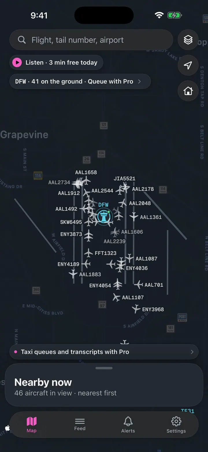
See every plane on the ground
Who is taxiing out, who is holding short, how long the departure queue is right now.
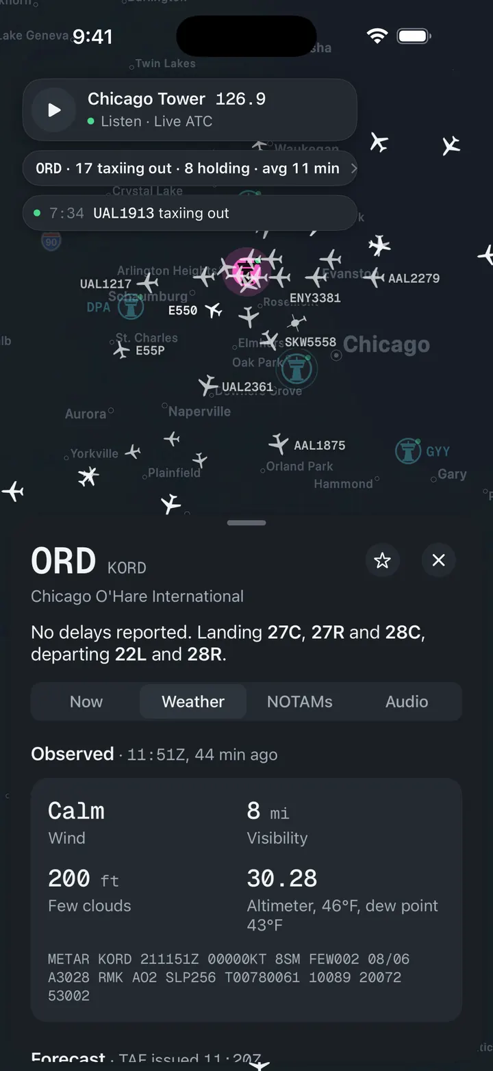
Weather and NOTAMs, decoded
Observed, forecast and ATIS in plain words, with the raw text underneath for when you want it.

A push when a ground stop starts
Follow ELP and get notified when the FAA issues, extends or ends a stop.