HOU airport status
William P. Hobby Airport, Houston, TX KHOU
No FAA delays at HOU right now.
The FAA reports no ground stop, delay program or closure for William P. Hobby. Arrivals and departures are running without FAA-reported delays.
 Get a push when HOU's status changes
Weather
Observed 6:53 pm CT at the field.
METAR KHOU 242353Z 12008KT 10SM SCT250 24/18 A3019 RMK AO2 SLP227 T02390183 10289 20239 53009 $
Forecast from 7:00 pm CT: wind 110 at 10 kt, visibility 6+ sm, scattered clouds at 4,000 ft; then wind variable at 4 kt, visibility 6+ sm, few clouds at 25,000 ft.
Full METAR, TAF and ATIS, decodedNOTAMs that matter today 4 of 66
Translated to plain English. The FAA text is one tap away.
Runway 13L/31R is closed.
FAA text
09/188 RWY 13L/31R CLSD
ILS approach to runway 4 has been amended. Category II and III operations are not authorized except for aircraft with a radar altimeter. Inner marker is out of service.
FAA text
6/9120 IAP WILLIAM P HOBBY, HOUSTON, TX. ILS RWY 4 (CAT II AND III), AMDT 43A ... S-ILS 4 CAT II NA EXCEPT FOR AIRCRAFT EQUIPPED WITH RADAR ALTIMETER. I-HUB INNER MARKER OUT OF SERVICE 2607271811-2703081811EST
Inner marker for the ILS runway 04 approach is out of service.
FAA text
07/175 NAV ILS RWY 04 IM U/S
Runway 04/22 is closed.
FAA text
07/055 RWY 04/22 CLSD
Nearby airports
About this page
Status comes from the FAA National Airspace System status feed, runways from the HOU digital ATIS, weather from the FAA METAR and TAF for KHOU, and NOTAMs from the FAA NOTAM system, translated to plain English. Everything here is public FAA data; this site is not affiliated with the FAA and nothing on it is for navigation. Official FAA airport diagram (PDF).
HOU in the Cockpit app
The same airport, live: every plane on the ground, the weather and NOTAMs decoded, and an alert when a ground stop starts or lifts.
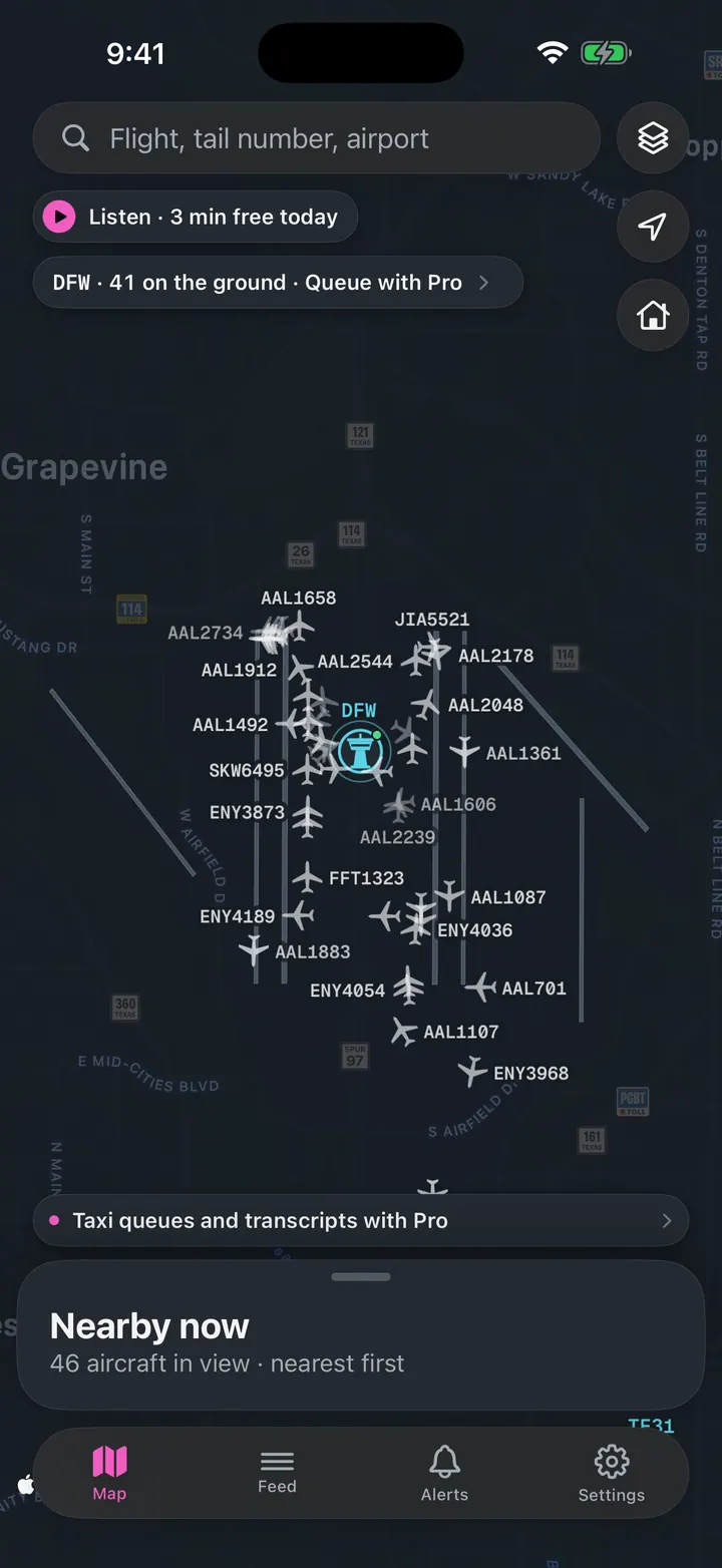
See every plane on the ground
Who is taxiing out, who is holding short, how long the departure queue is right now.
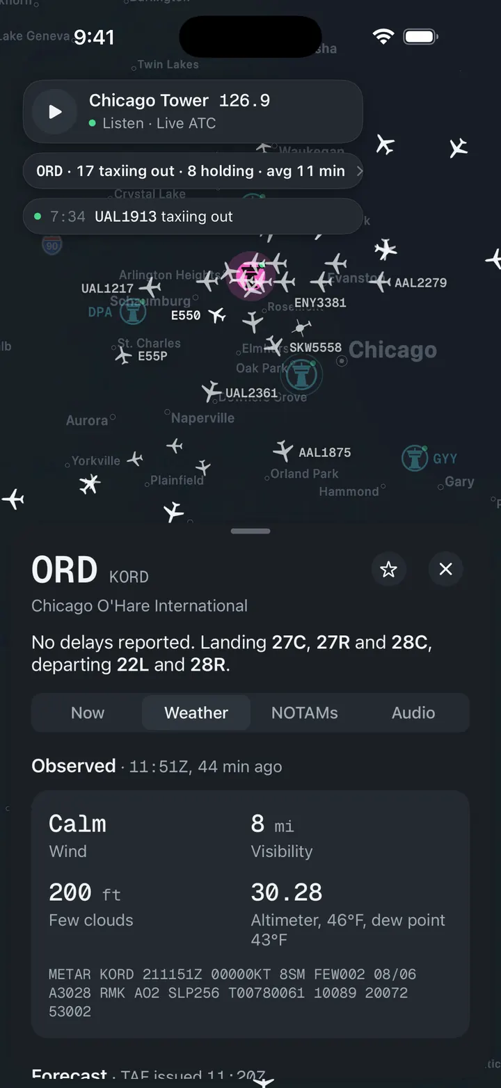
Weather and NOTAMs, decoded
Observed, forecast and ATIS in plain words, with the raw text underneath for when you want it.
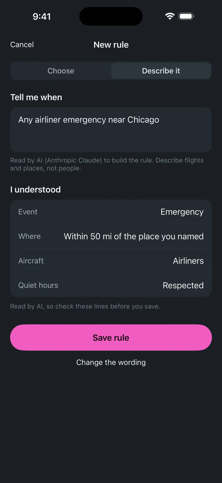
A push when a ground stop starts
Follow HOU and get notified when the FAA issues, extends or ends a stop.