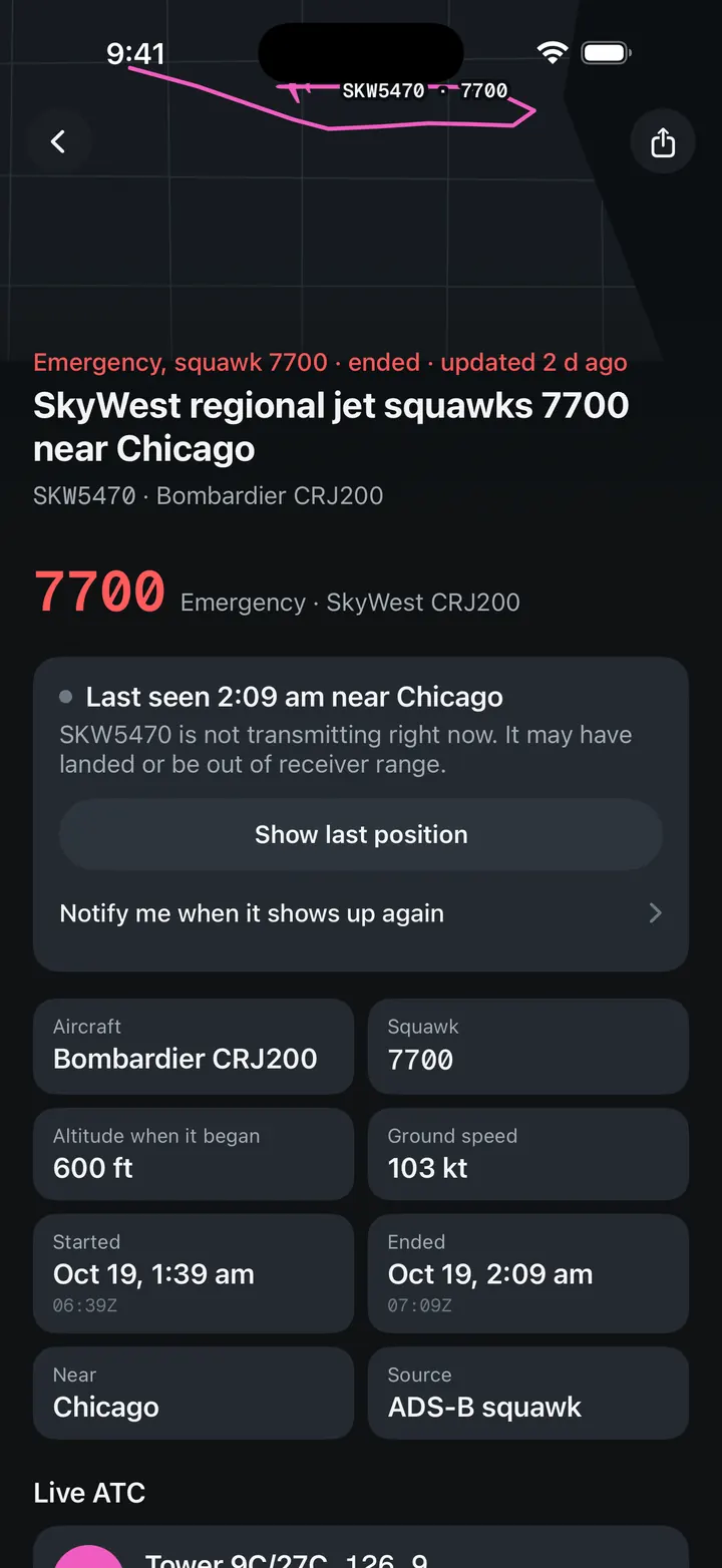
Radio failure, squawk 7600
Military aircraft squawks 7600 near Phoenix, AZ
- Squawk7600
- Altitude when it began22,000 ft
- Started12:40 pm MT
- Ended1:10 pm MT
- Duration30 min
What happened
A military aircraft near Phoenix is transmitting squawk 7600, the code for lost radio communication. It is flying at 22,000 ft at 302 knots. The code tells air traffic control the crew cannot use the radio, and controllers handle it with established procedures.
Summary from recorded positions and public data. May be inaccurate, not for operational use.
Timeline
- Squawk 7600 at 22000 ft
- Squawk cleared
Related
Positions: FAA SWIM and adsb.lol (ODbL). Private and general aviation aircraft are shown without callsign or registration. Event pages stay online for 90 days.
Events like this in the Cockpit app
Open events on a live map, with the flight's messages and the tower.