TEB airport status
Teterboro Airport, Teterboro, NJ KTEB
No FAA delays at TEB right now.
The FAA reports no ground stop, delay program or closure for Teterboro. Arrivals and departures are running without FAA-reported delays.
 Get a push when TEB's status changes
Weather
Observed 7:51 pm ET at the field.
METAR KTEB 242351Z 00000KT 10SM CLR 11/03 A3053 RMK AO2 SLP336 T01110028 10178 20111 53008 $
Forecast from 8:00 pm ET: wind variable at 3 kt, visibility 6+ sm, clear skies; then wind 230 at 5 kt, visibility 6+ sm, clear skies.
Full METAR, TAF and ATIS, decodedNOTAMs that matter today 4 of 29
Translated to plain English. The FAA text is one tap away.
Numerous unmanned aircraft systems operating in a 0.25 nautical mile radius near the airport, surface to 400 feet above ground level.
FAA text
10/148 AIRSPACE NUMEROUS UAS WI AN AREA DEFINED AS .25NM RADIUS OF 404833N0740730W (4.8NM WSW TEB) SFC-400FT AGL
Unmanned aircraft systems are restricted within a 1 nautical mile radius centered about 7.0 nautical miles west-northwest of the airport, from the surface to 400 feet AGL.
FAA text
10/153 AIRSPACE UAS WI AN AREA DEFINED AS 1NM RADIUS OF 410435.30N0735138.10W (7.0NM WNW HPN) SFC-400FT AGL
Unmanned aircraft flight restricted within a 1 nautical mile radius, surface to 400 feet AGL, about 7 nautical miles WNW of White Plains.
FAA text
10/154 AIRSPACE UAS WI AN AREA DEFINED AS 1NM RADIUS OF 410507.10N0735132.50W (7.0NM WNW HPN) SFC-400FT AGL
Runway 01 threshold is displaced 767 feet, with markings not to standard. Declared distances: takeoff run 6997 feet, takeoff distance 6997 feet, accelerate-stop 6929 feet, landing 6159 feet.
FAA text
10/142 RWY 01 THR DISPLACED 767FT MARKING NOT STD. DECLARED DIST: TORA 6997FT TODA 6997FT ASDA 6929FT LDA 6159FT
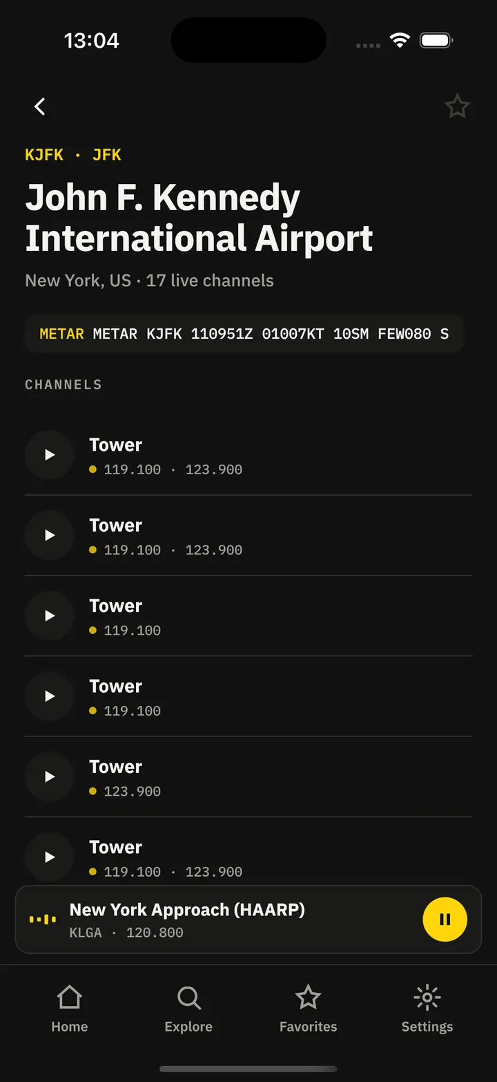
Frequencies
For listening and reference. Pilots use the current FAA Chart Supplement.
| Facility | MHz |
|---|---|
| TEB Clearance DeliveryClearance delivery | 128.050 |
| TEB GroundGround | 121.900 |
| TEB TowerTower | 119.500 |
| TEB Tower (Secondary)Tower | 125.100 |
| Ramp ControlCenter | 120.675 |
| OPSOther | 130.575 |

Nearby airports
About this page
Status comes from the FAA National Airspace System status feed, runways from the TEB digital ATIS, weather from the FAA METAR and TAF for KTEB, and NOTAMs from the FAA NOTAM system, translated to plain English. Everything here is public FAA data; this site is not affiliated with the FAA and nothing on it is for navigation. Official FAA airport diagram (PDF).
TEB in the Cockpit app
The same airport, live: every plane on the ground, the weather and NOTAMs decoded, and an alert when a ground stop starts or lifts.
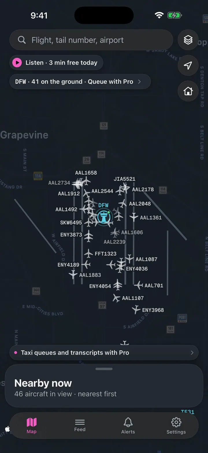
See every plane on the ground
Who is taxiing out, who is holding short, how long the departure queue is right now.
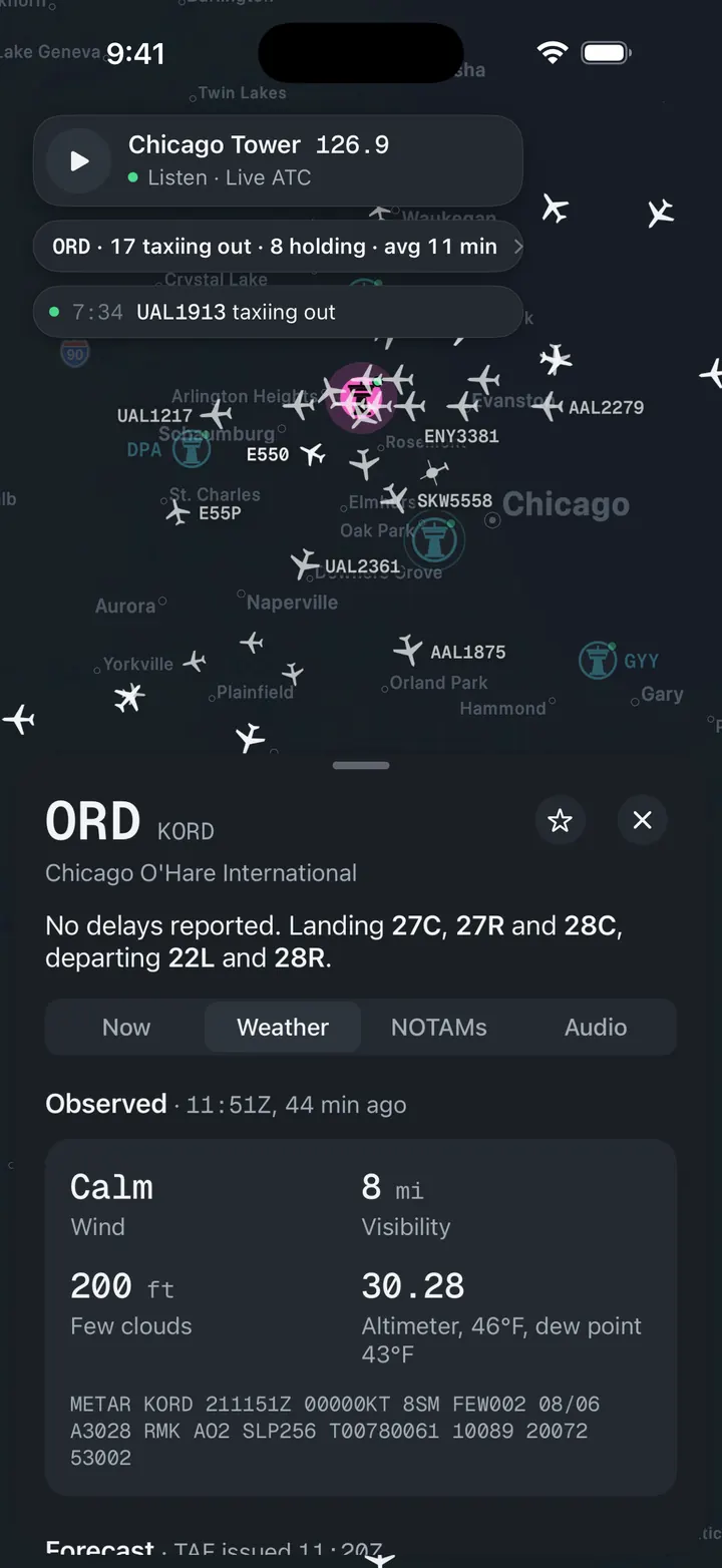
Weather and NOTAMs, decoded
Observed, forecast and ATIS in plain words, with the raw text underneath for when you want it.
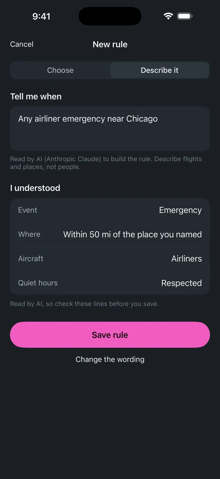
A push when a ground stop starts
Follow TEB and get notified when the FAA issues, extends or ends a stop.