MSP airport status
Minneapolis–Saint Paul International Airport / Wold–Chamberlain Field, Minneapolis, MN KMSP
No FAA delays at MSP right now.
The FAA reports no ground stop, delay program or closure for Minneapolis–Saint Paul International Airport / Wold–Chamberlain Field. Arrivals and departures are running without FAA-reported delays.
 Get a push when MSP's status changes
Weather
Observed 6:53 pm CT at the field.
METAR KMSP 242353Z 32009KT 10SM OVC055 14/09 A3025 RMK AO2 SLP244 T01440094 10239 20144 53033
Forecast from 7:00 pm CT: wind 320 at 12 kt, visibility 6+ sm, overcast at 6,000 ft; then visibility 6+ sm, light rain showers, overcast at 2,500 ft.
Full METAR, TAF and ATIS, decodedNOTAMs that matter today 4 of 38
Translated to plain English. The FAA text is one tap away.
Runway 04/22 is closed except for taxi operations, with 30 minutes prior permission required on 121.9.
FAA text
10/539 RWY 04/22 CLSD EXC TAX 30MIN PPR 121.9
The ILS for runway 12R is out of service.
FAA text
10/118 NAV ILS RWY 12R IM U/S
ILS runway 12L CAT II approach is not authorized except for aircraft with a radar altimeter. The I-PJL inner marker is out of service.
FAA text
6/0535 IAP MINNEAPOLIS-ST PAUL INTL/WOLD-CHAMBERLAIN, MINNEAPOLIS, MN. ILS RWY 12L (CAT II-III), AMDT 12A ... S-ILS 12L CAT II NA EXCEPT FOR AIRCRAFT EQUIPPED WITH RADAR ALTIMETER. I-PJL INNER MARKER OUT OF SERVICE 2605142014-2612242012EST
ILS for runway 12L is out of service at the inner marker.
FAA text
03/843 NAV ILS RWY 12L IM U/S
Frequencies
For listening and reference. Pilots use the current FAA Chart Supplement.
| Facility | MHz |
|---|---|
| MSP ATISATIS | 120.800 |
| MSP Clearance DeliveryClearance delivery | 133.200 |
| MSP Ground (South)Ground | 121.800 |
| MSP Tower (Rwy 12L/30R)Tower | 123.675 |
| MSP Approach (Final Rwy 17/35)Approach | 118.720 |
| MSP Minneapolis ApproachApproach | 121.200 |
| MSP Minneapolis ApproachApproach | 134.700 |
| MSP Departure (SE)Departure | 132.975 |


Nearby airports
About this page
Status comes from the FAA National Airspace System status feed, runways from the MSP digital ATIS, weather from the FAA METAR and TAF for KMSP, and NOTAMs from the FAA NOTAM system, translated to plain English. Everything here is public FAA data; this site is not affiliated with the FAA and nothing on it is for navigation. Official FAA airport diagram (PDF).
MSP in the Cockpit app
The same airport, live: every plane on the ground, the weather and NOTAMs decoded, and an alert when a ground stop starts or lifts.

See every plane on the ground
Who is taxiing out, who is holding short, how long the departure queue is right now.
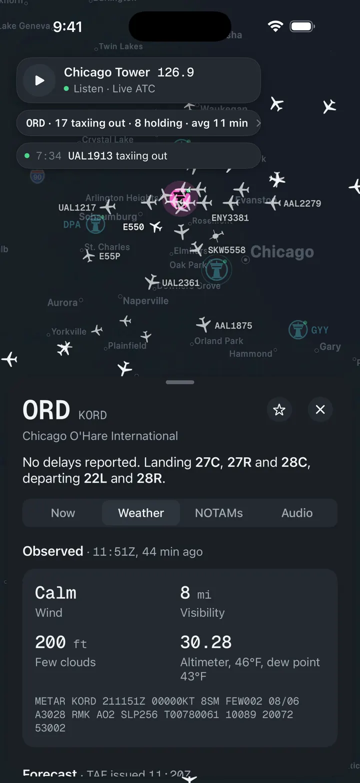
Weather and NOTAMs, decoded
Observed, forecast and ATIS in plain words, with the raw text underneath for when you want it.

A push when a ground stop starts
Follow MSP and get notified when the FAA issues, extends or ends a stop.