DCA airport status
Ronald Reagan Washington National Airport, Washington, DC KDCA
No FAA delays at DCA right now.
The FAA reports no ground stop, delay program or closure for Ronald Reagan Washington National. Arrivals and departures are running without FAA-reported delays.
 Get a push when DCA's status changes
Weather
Observed 7:52 pm ET at the field.
METAR KDCA 242352Z 13004KT 10SM FEW050 13/06 A3054 RMK AO2 SLP341 T01280061 10178 20128 53013
Forecast from 8:00 pm ET: wind 130 at 4 kt, visibility 6+ sm, few clouds at 5,000 ft; then wind 040 at 3 kt, visibility 6+ sm, few clouds at 25,000 ft.
Full METAR, TAF and ATIS, decodedNOTAMs that matter today 4 of 54
Translated to plain English. The FAA text is one tap away.
Runway 22 is closed for takeoff and landing.
FAA text
09/349 RWY 22 CLSD TO TKOF AND LDG
Runway 04 is closed to landings.
FAA text
03/226 RWY 04 CLSD TO LDG
Operational visual glide slope indicator required. Remain on or above the VGSI glidepath until the threshold for RNAV (GPS) Y runway 19 approach.
FAA text
6/1990 IAP RONALD REAGAN WASHINGTON NTL, WASHINGTON, DC. RNAV (GPS) Y RWY 19, ORIG... OPERATIONAL VGSI REQUIRED, REMAIN ON OR ABOVE VGSI GLIDEPATH UNTIL THRESHOLD. 2610231949-2706041947EST
RNAV (RNP) Z RWY 19 approach is not authorized, except when ATC advises the crane has been lowered to the no-effect height. Effective 2310 UTC on the 23rd through 1717 UTC on the 17th.
FAA text
6/1965 IAP RONALD REAGAN WASHINGTON NTL, WASHINGTON, DC. RNAV (RNP) Z RWY 19, AMDT 3A... PROCEDURE NA. EXCEPT WHEN ADVISED BY ATC THAT THIS CRANE IS LOWERED TO THE NO EFFECT HEIGHT. 2610231708-2707171708EST
Frequencies
For listening and reference. Pilots use the current FAA Chart Supplement.
| Facility | MHz |
|---|---|
| DCA GroundGround | 121.700 |
| DCA TowerTower | 119.100 |
| DCA Andrews ApproachApproach | 119.850 |
| DCA Potomac Departure East KrantDeparture | 118.950 |

Nearby airports
About this page
Status comes from the FAA National Airspace System status feed, runways from the DCA digital ATIS, weather from the FAA METAR and TAF for KDCA, and NOTAMs from the FAA NOTAM system, translated to plain English. Everything here is public FAA data; this site is not affiliated with the FAA and nothing on it is for navigation. Official FAA airport diagram (PDF).
DCA in the Cockpit app
The same airport, live: every plane on the ground, the weather and NOTAMs decoded, and an alert when a ground stop starts or lifts.
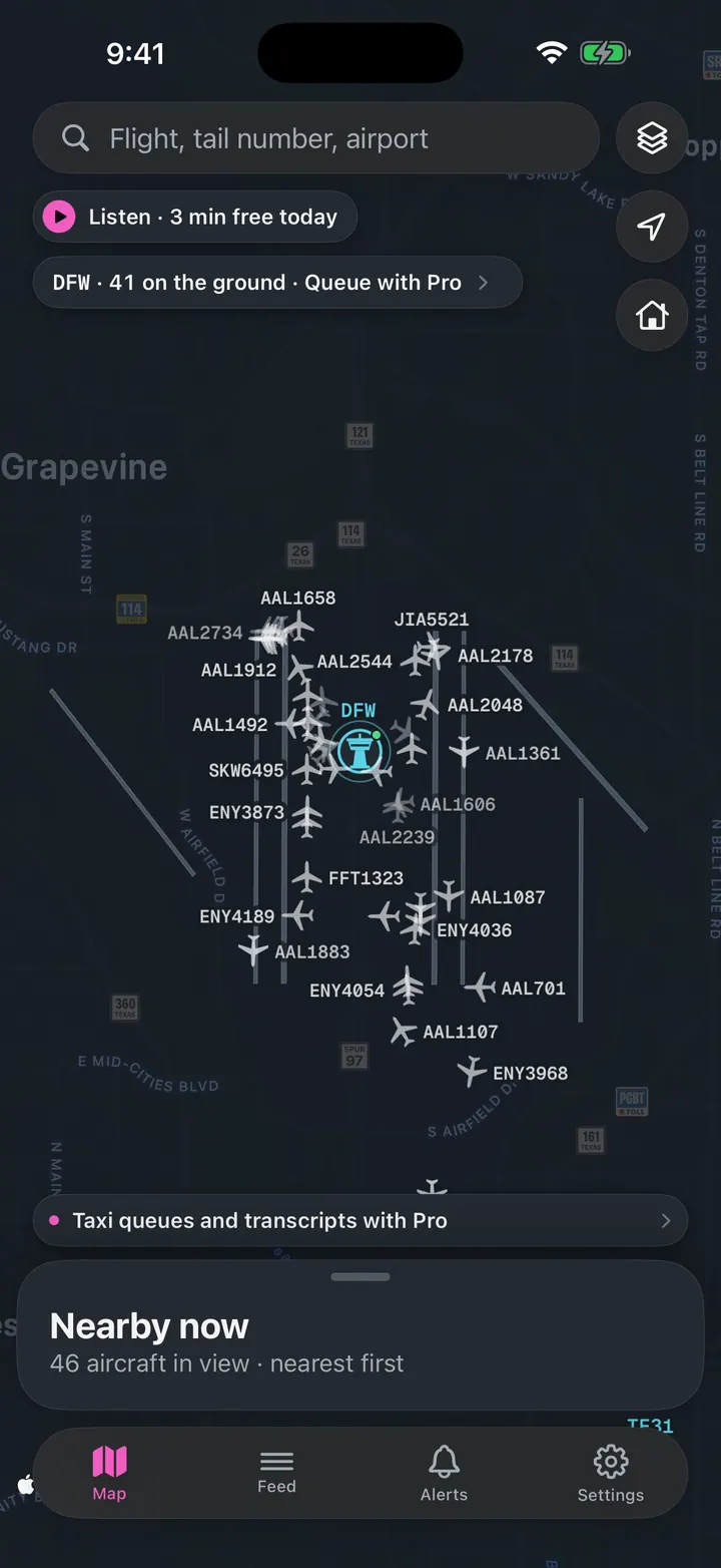
See every plane on the ground
Who is taxiing out, who is holding short, how long the departure queue is right now.
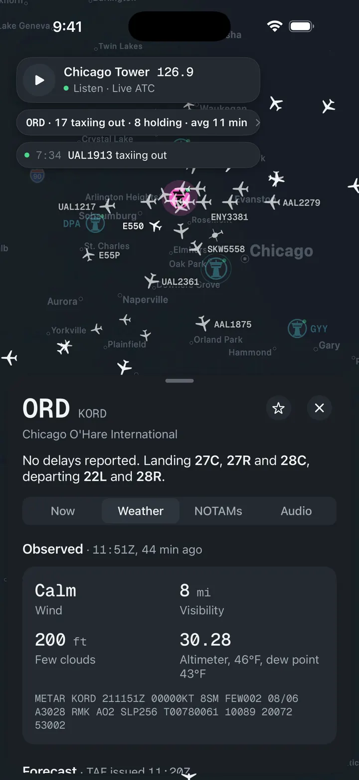
Weather and NOTAMs, decoded
Observed, forecast and ATIS in plain words, with the raw text underneath for when you want it.
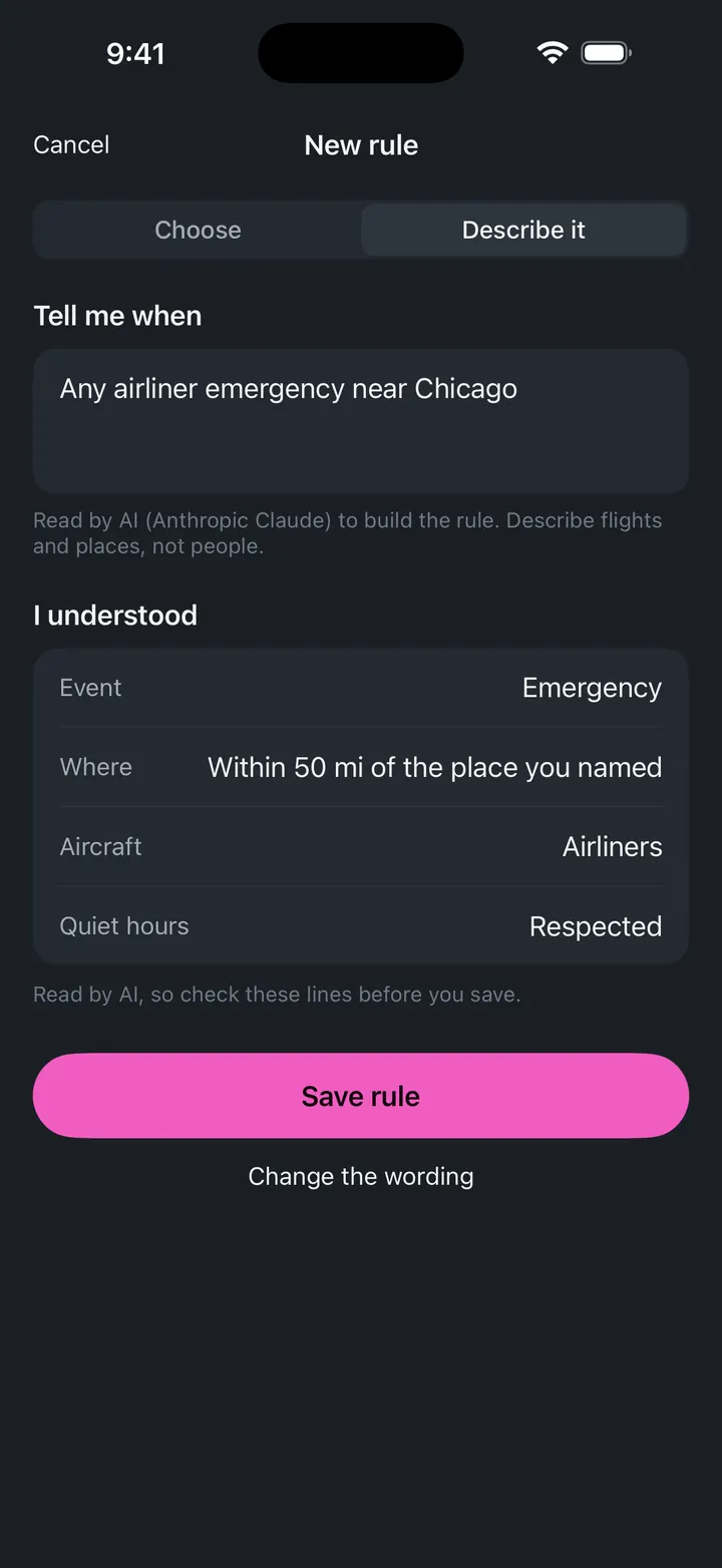
A push when a ground stop starts
Follow DCA and get notified when the FAA issues, extends or ends a stop.